 Geomatic and surveying
Geomatics has become an essential tool in land management and all areas of engineering, as well as urban planning, project management and the environment. Geomatics also adds value to projects, as it involves the optimization of data (collection, analysis, management, and dissemination), which means more accurate and more reliable results.
A fundamental tool for data optimization
Our land surveying, geomatics and computer science teams rely on a wide range of skills in various fields of engineering, urban planning, project management, and the environment, delivering comprehensive expertise to our clients in the context of partnership and knowledge sharing.
Our specialized services
Rely on our multidisciplinary professionals to meet your requirements and expectations. We offer a full range of engineering services to successfully deliver your project, from start to finish.
CIMA+ is proud to partner with its clients, particularly on the development of georeferenced solutions and tools. Such tools must meet clients’ specific needs and be installed in very precise technological environments, in order to provide for easy utilization by all. They are made to measure, based on the results of needs assessments, and include user training, structural design, programming and roll-out.
The following are a few examples of customized tools and solutions designed by CIMA+:
- Tools for locating and managing contaminated or potentially contaminated land
- Tools for managing GPS snow removal data
- Tools for on-site location of water main leaks
- Tools for population counting
- CAD drawing management systems for Hydro-Québec
- Customized geolocation tool for traffic collisions for the City of Montreal
- Action plan prioritization tool for infrastructure assets management
CIMA+ is a pioneer in the development of action plans for the management of drinking water, wastewater, and road networks. Over the past decade, we have developed action plans for the refurbishment of water mains, sewer lines and pavement for over 50 cities and municipalities in Quebec and Ontario.
We also have expertise in developing:
- Action plans for the management of local road infrastructure (PIIRL)
- Master plans and action plans for the management of sewer and sanitation systems, in the area of hydric expertise
Geomatics plays a critical role in all of these projects, in terms of the integration, management and representation of data and results. Given the relationship between expert software (MODEX, PCSWMM, HECRAS, etc.) and GIS, georeferenced solutions also make it possible to optimize studies.
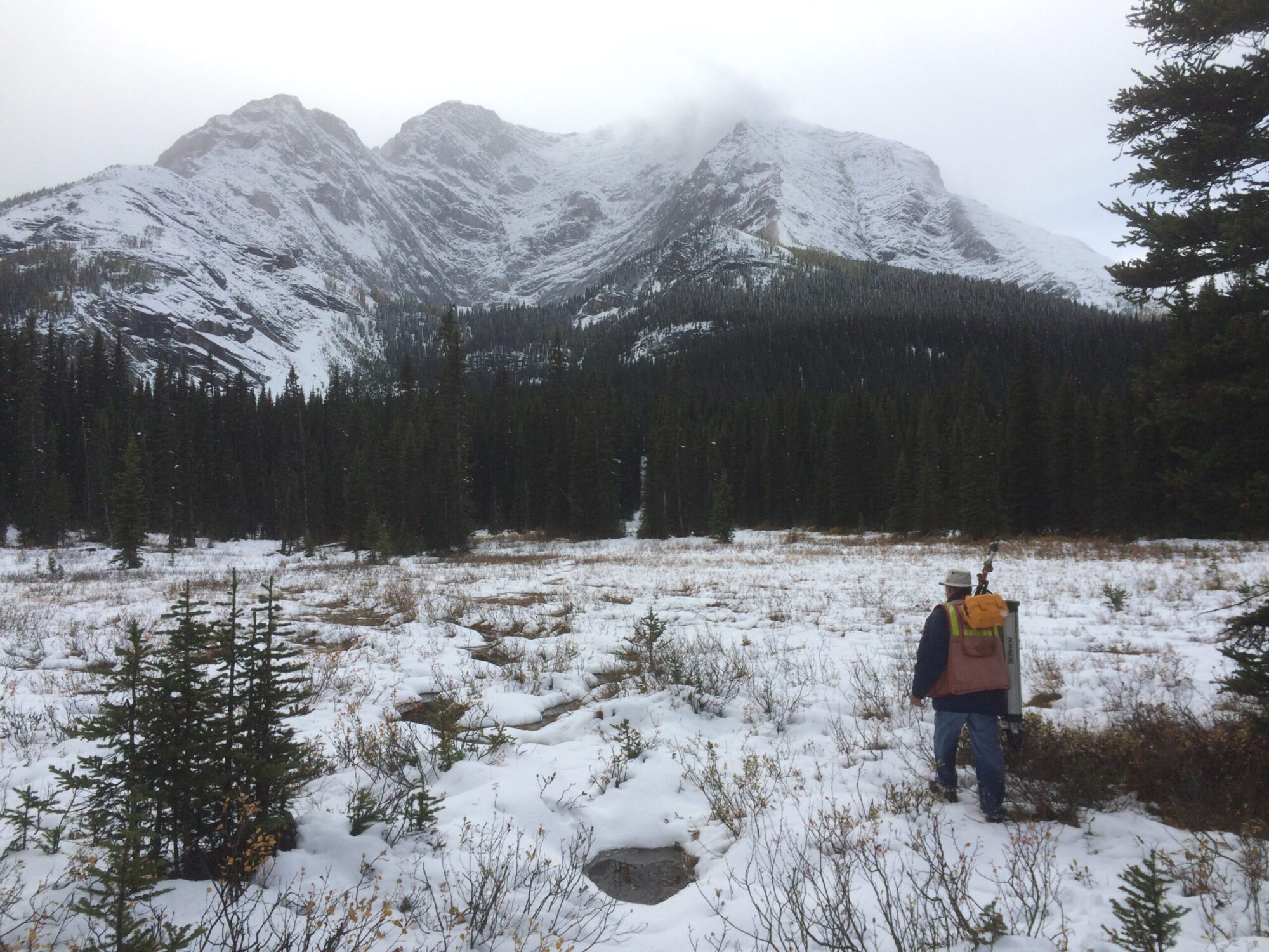
Based on a good understanding of the geospatial issues involved in engineering, our geomatics team is able to provide technical support to a wide variety of clients, for the analysis and management of assets. Our integrated surveys simplify the analysis of descriptive data related to engineering and the environment. Using devices that combine GPS, data capture software and mapping, surveys can also be tailored to the degree of accuracy required by the client.
Our services include:
- Design of databases and customized forms
- Real-time location of existing on-site assets
- Presentation of results using geographic information systems (GIS)
Geographic information systems (GIS) make thematic mapping possible, and are an essential tool for understanding, analyzing and graphically representing environmental phenomena.
At CIMA+, geomatics is widely used in projects related to the environment. Over the past few years, this has allowed us to deliver value-added services to our clients. Geoprocessing makes it possible to optimize analyses, while geographic information systems are used as powerful tools for data management and presenting environmental issues.
Geomatics is increasingly used to better understand natural phenomena and support analyses carried out by professionals, because it makes it possible to optimize and automate often tedious calculations and interpretation activities.
At CIMA+, we have developed substantial expertise in the analysis of catchment areas and hydrographical networks, relying on digital land models and certain spatial analysis tools included in geographic information systems (GIS). Our proven methodology can be used on a vast array of projects in the energy, environment, urban services, infrastructure, and rail transportation sectors, as well as any project for which an understanding of water flow patterns is of interest.
Transportation and mobility studies generally incorporate geomatics because it is an effective tool for interpreting and managing issues over large areas. There are many examples where georeferenced applications have been used to support the development of solutions designed to improve safety, road network efficiency and traffic management. Geomatics makes it possible to manage data from multiple sources and interpret them using geoprocessing and cartographic representation.
CIMA+: a one-stop solution for all your engineering needs
We are proud of our multidisciplinary approach. By offering you everything under one roof, you benefit from a simplified collaborative approach to deliver projects quickly and on time.
Contact our team!
- By submitting this form, I agree to receive CIMA+’s email communications regarding news, updates and products.
- You may unsubscribe at any time. Please allow 10 business days to be removed from our mailing list.
- Please refer to our Privacy Policy on our website for more details.