Geographic information system (GIS)​

Geographic information systems (GIS), often packaged as applications, are the key to presenting data that drives sound environmental, community and business decisions.

Get in touch

Territory analysis with unparalleled accuracy

To rigorously analyze their territory and better plan their infrastructure and development projects, our clients need comprehensive, high-quality data.

At CIMA+, we help our clients make better decisions and implement effective strategies and solutions based on extensive territory data. We develop solutions and georeferenced tools that meet the specific needs of our clients, which are installed in highly precise, high-tech environments to ensure that everybody can easily use them. Our solutions are tailor-made by our GIS specialists, based on a needs assessment, and include user training, structural design, programming and roll-out.

Our expertise: facts and figures

CIMA+’s achievements span more than 30 years and speak for themselves.
0
+
years geomatics experience
0
team of multidisciplinary experts for developing geomatic systems
Involved in more than
0
+
projects for cities, RCM and organizations
0
+
completed action plans

Our specialized services

Rely on our multidisciplinary professionals to meet your requirements and expectations. We offer a full range of engineering services to successfully deliver your project, from start to finish.

Geomatics

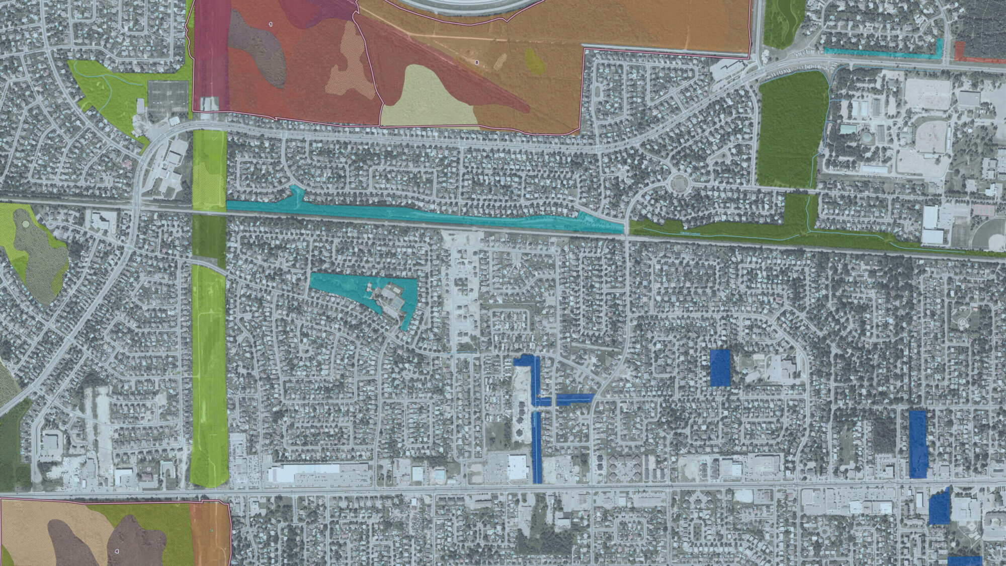
Geomatics focuses on the set of technologies and methods used to capture, analyze and visualize geospatial data. This field encompasses mapping, geographic data visualization, advanced spatial analysis and geospatial database management.
Using these tools, CIMA+ optimizes infrastructure management and enhances decision-making in sectors such as infrastructure, transportation and the environment. The services that we offer include the following :

  • Mapping and visualization: Creation of interactive maps and visual tools to represent complex geospatial data.
  • Spatial analysis: Leveraging geographic data to conduct in-depth analyses, such as environmental risk modeling or infrastructure optimization. These analyses help anticipate future impacts and plan appropriate interventions.
  • Geospatial database management: Organization, storage and management of geospatial data in specialized systems to ensure rapid accessibility and efficient analysis.
GIS deployment and integration

At CIMA+, we offer comprehensive services for the deployment and integration of Geographic Information Systems (GIS), covering both the setup of necessary infrastructure and the integration of GIS solutions into existing technological environments. The goal of this process is to ensure the optimal use of GIS while guaranteeing interoperability with other systems and databases within the organization. Our services include the following:

  • Needs assessment: Analysis of the organization’s goals and existing systems in order to design and deploy a customized GIS solution that is fully integrated with the organization’s processes.
  • Installation, configuration and integration: Implementation of GIS infrastructure, including servers, databases and networks, while ensuring smooth integration with existing information systems, such as ERPs, CRMs or asset databases.
  • Data and asset management: Creation and management of centralized geospatial databases to enable coherent organization of geographic information and efficient asset management while integrating the data into the organization’s other information systems.
  • User training and support: Training users to master GIS tools and provision of ongoing technical support to ensure optimal usage and successful integration into daily operations.
GIS development

At CIMA+, we develop geomatics tools and software for asset management. This allows for maximizing the use of geospatial data through the development of custom applications, integration with other systems, business process automation, map generation and centralized data modeling.

  • Development of specific applications: Designing custom applications for sectors such as urban planning, infrastructure, resource management and the environment.
  • Customization of GIS features: Modifying existing GIS functionalities to automate specific tasks, such as data updates and report generation.
  • Automation of workflows: Developing scripts to automate repetitive processes, such as geospatial data collection and analysis.
  • Integration with other systems: Connecting GIS to other information systems, such as ERP, CRM or IoT platforms, in order to enhance geospatial analyses.
GIS-Integrated Asset Management

Asset management integrated with GIS (Geographic Information Systems) encompasses a range of services that combine GIS capabilities with asset management processes to improve the management, monitoring and maintenance of physical assets.

At CIMA+, the services that are offered typically include data integration and mapping, which involve integrating GIS data with asset management platforms to visualize assets on maps. This links spatial data, such as location and geography, with asset-related data, such as maintenance records and usage conditions.

One of our key services is asset inventory and tracking, where a comprehensive georeferenced database of assets is created and maintained, including their locations and specifications. Forexample, GIS can be used to monitor the condition of streetlights, public transportation infrastructure assets or urban infrastructureassets.

CIMA+ also supports investment planning and budgeting by providing spatial data to assist in making informed decisions related investments in new infrastructure assets or major repairs. GIS enables the identification of areas with aging infrastructure assets that require replacement, thereby guiding capital investment.

CIMA+: a one-stop solution for all your engineering needs

We are proud of our multidisciplinary approach. By offering you everything under one roof, you benefit from a simplified collaborative approach to deliver projects quickly and on time.

Contact our team!

  • By submitting this form, I agree to receive CIMA+’s email communications regarding news, updates and products.
  • You may unsubscribe at any time.  Please allow 10 business days to be removed from our mailing list.
  • Please refer to our Privacy Policy on our website for more details.

    Expertise

    First Name *

    Last Name *

    Email *

    Phone

    Let us know a bit more

    Skip to content