
 3D surveys
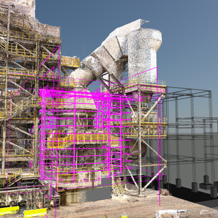
Les logiciels de CAO et les nuages de points
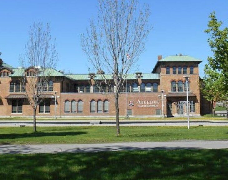
Atwater water treatment plant
Ville de Montréal needed to expand the offices and the employee parking area at the Atwater water treatment plant. This project required surveying work on a large scale, given...
Pavement condition assessment
CIMA+ used a drone to conduct a survey in order to generate a high-definition orthophotograph for the purpose of analyzing the condition of the pavement and quantifying the damage....
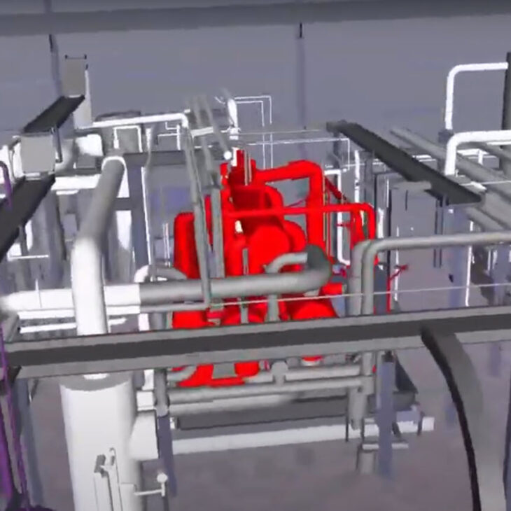
Simulation of the removal of industrial equipment at AkzoNobel
AkzoNobel, a paint and chemical products company, needed to remove a piece of equipment from a very tight space. CIMA+ conducted a survey using a 3D scanner, created a...
Commission scolaire de Montréal (CSDM) Schools
The CSDM wanted to carry out an assessment of the condition of the walls of a number of schools in the region. Many of these schools are historic buildings,...
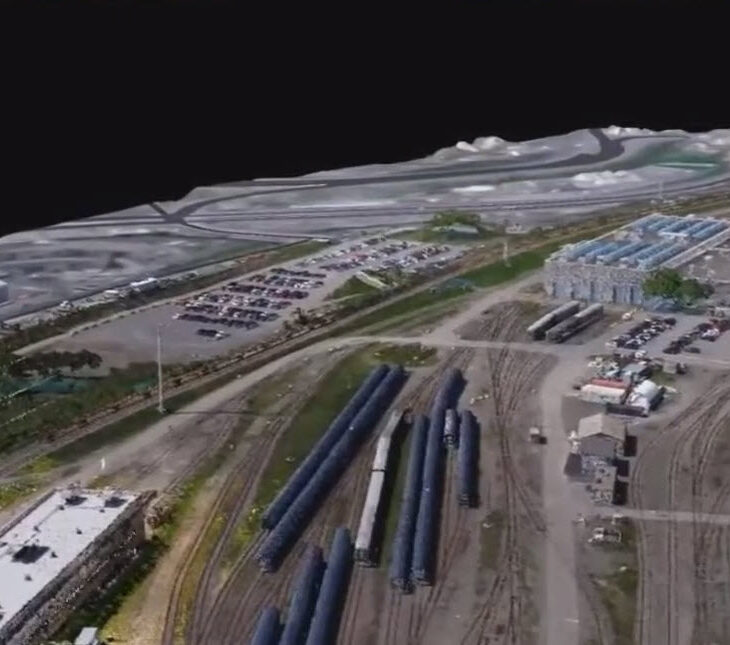
Digital twins for maintenance installation, Via Rail
In anticipation of making changes to its Montréal and Toronto maintenance centres, VIA Rail Canada wanted to conduct the 3D digitization and 3D modeling of a given section in...
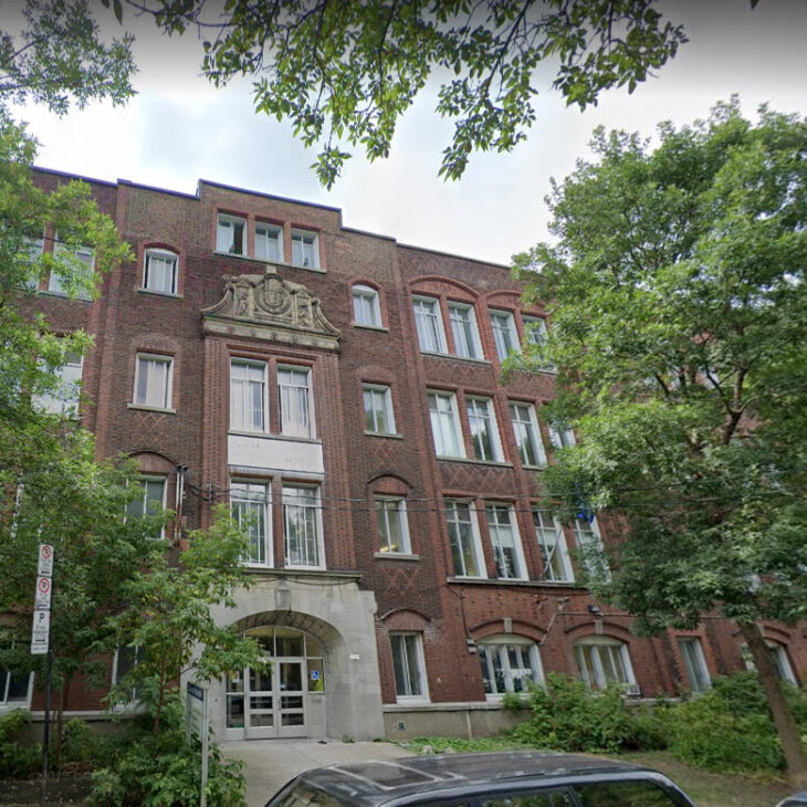
Condition assessment of walls, L’Étincelle school
The architectural firm of Bertrand + Paquette was called upon to assess the condition of the walls of L’Étincelle school, a historic brick building with many bas-relief designs.
The...
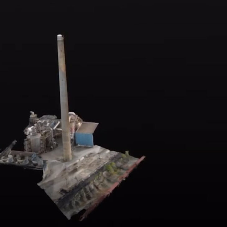
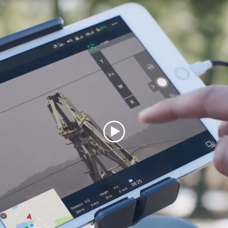
Bridge and smokestack inspection
Smokestacks must undergo regular inspections. Traditionally, these visual inspections are conducted by workers who rappel down the wall, which is a slow and tedious method. In order to speed...
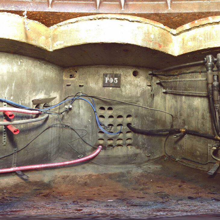
Inspection of confined spaces, Horizon Utilities Project
This project involved 3D documentation of 237 underground electrical rooms in Hamilton and St. Catharines, Ontario with millimetre-level precision, making it possible to visualize their existing condition, take measurements,...
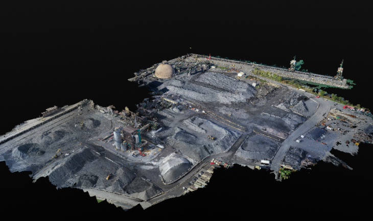
Lighting at Rio Tinto Iron and Titanium
The work to improve the site’s lighting system required preparation of an inventory of the various structures available to accommodate the lighting fixtures and estimation of the volume and...