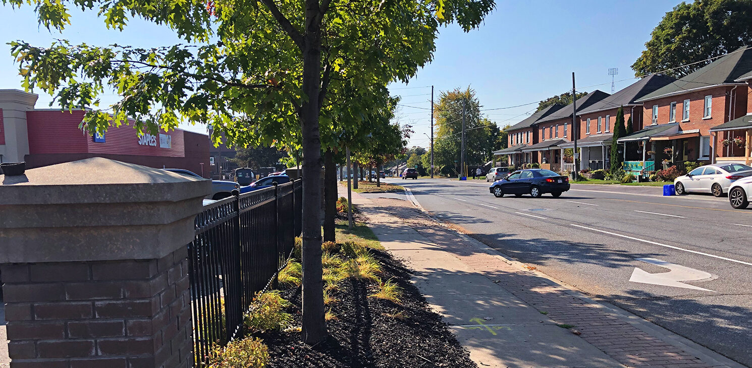
Liberty Street is one of three major north-south roads that serve the community of Bowmanville. It provides critical access to residential areas to the east and west and to businesses and institutions, including the Bowmanville Hospital. The street is a corridor for public transit and the transportation of goods, and it provides access to Highway 401, the most important transportation link in the Greater Toronto Area and North America’s busiest highway.
A review of the Liberty Street corridor completed by the Region identified multiple challenges, including:
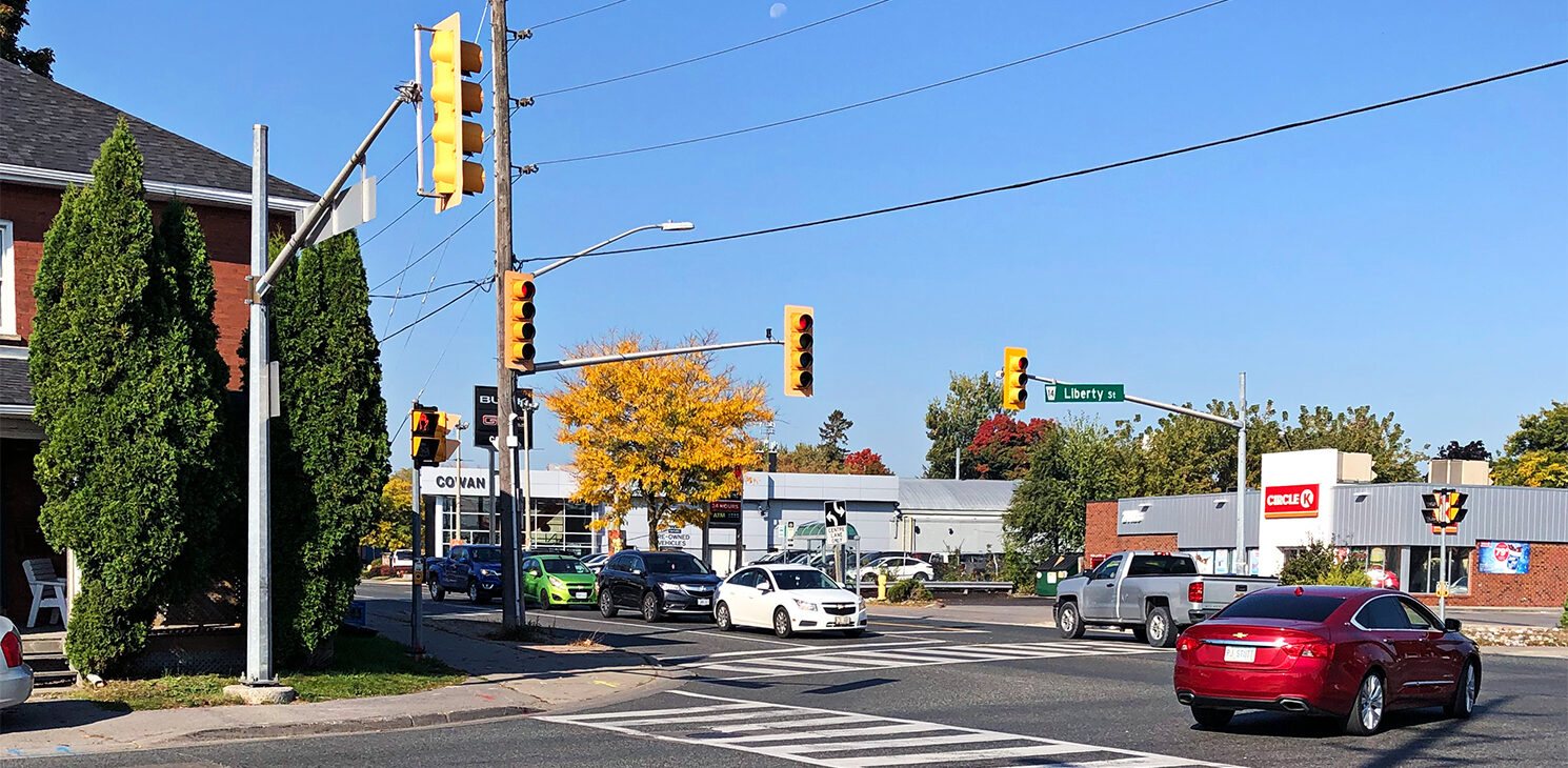
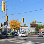
- Long delays and over-capacity conditions at major intersections
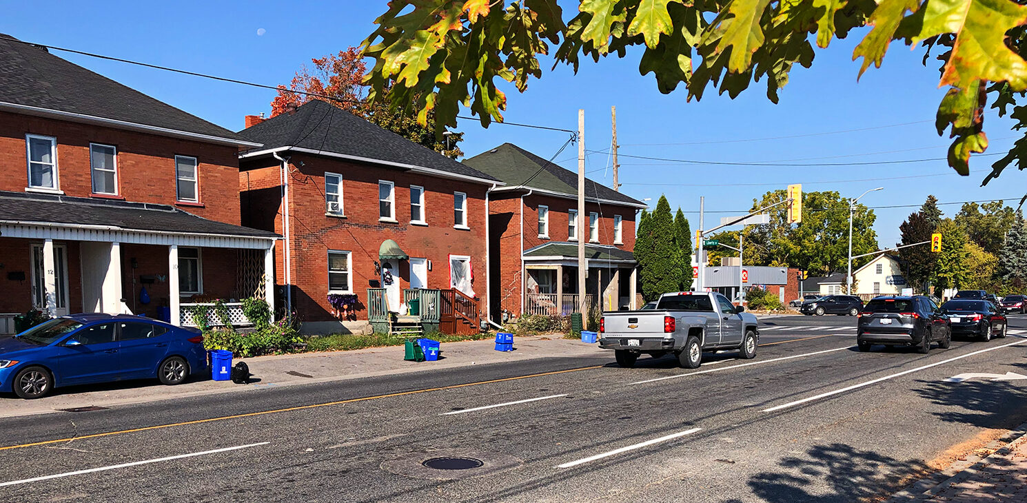
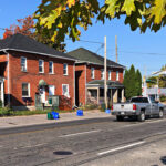
- A lack of auxiliary turn lanes despite a high number of driveways along both sides of the street
- Safety concerns related to boulevard parking
The development of several commercial and residential sites is also expected to increase all forms of traffic within the area.
The Region’s review also identified several opportunities:
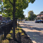
- Connection of local cycling facilities to the extensive Waterfront Trail network
- Improvements to the continuity of the pedestrian-facilities network
- Additional bus pads and shelters for transit users
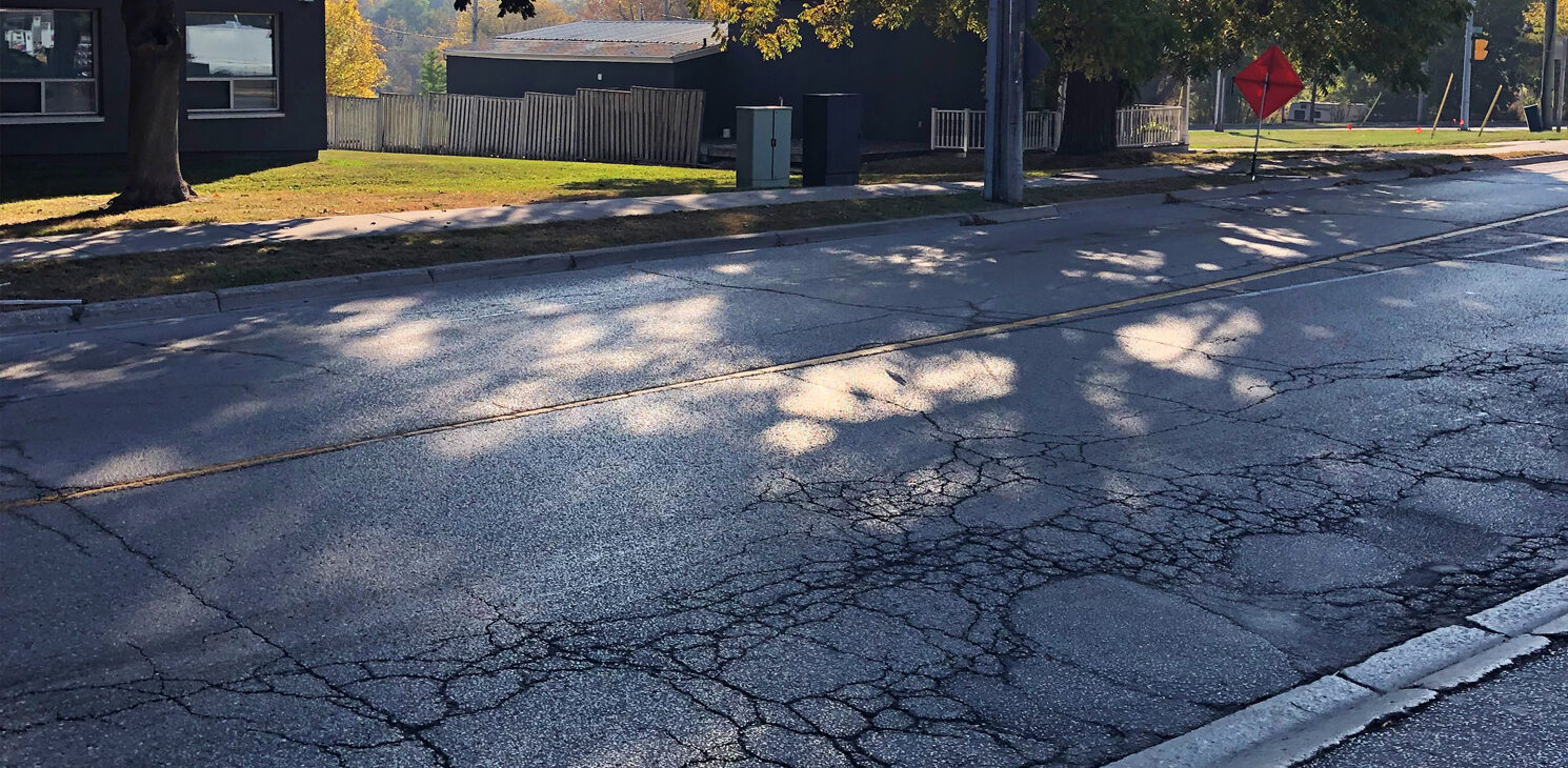
To address traffic congestion, safety and other concerns, and to realize mobility opportunities along the corridor, the Region has retained CIMA+ to complete the preliminary and detailed design of the full-depth reconstruction of the street.
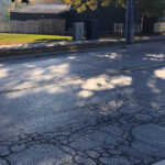
The reconstruction will also include replacement of the municipal services under the roadway. The existing sanitary sewers and watermain on Liberty Street are reaching the end of their service lives and require replacement. The existing 750-900 mm trunk sanitary sewer and 375-450 mm sub-trunk (collector) sewer that run the length of Liberty Street within the project limits will be replaced with a single 750-900 mm combined sewer. The 400 mm water feedermain between Baseline Road and Ontario Street will be replaced due to constructability issues and a local 150 mm watermain that runs the entire length of Liberty Street will be replaced with a 300 mm watermain. In addition, a section of 300-400 mm watermain along Baseline Road east and west of Liberty Street will be replaced, with trenchless construction used for the crossing under Soper Creek. The storm sewer will also be upsized to accommodate the additional stormwater runoff that will result from the wider pavement of the centre left-turn lane.
A complete-streets approach to transportation improvement
The reconstruction of the road from a complete-streets perspective will improve Liberty Street for all users and help the Region to meet several of its Transportation Master Plan goals. The introduction of new, safer walking and cycling facilities will make active transportation a better alternative in the area, which will simultaneously promote the health of the neighbourhood and help the Region to address climate change. Better traffic flow from improvements to road and intersection geometry will reduce travel times and thereby reduce greenhouse gas emissions from cars, trucks and buses. The reduction in travel times will also strengthen the public transit network and support economic growth by improving the movement of goods. The replacement of water, wastewater and stormwater infrastructure at the same time that the road is reconstructed will increase the reliability of municipal services with as little disruption as possible to road users, residents and businesses.